Accurate, technology driven geomatics solutions delivering reliable spatial data to support land administration, urban planning, infrastructure management, and evidence based decision making through advanced mapping and geospatial analysis.
PRECISION IN EVERY LOCATION
Transforming Geographic Information into Practical Solutions
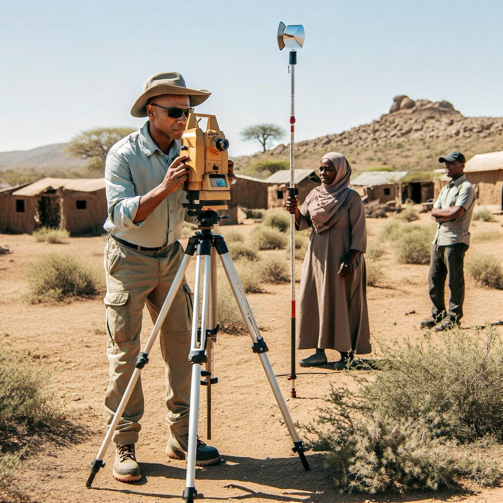
Reliable spatial information is essential for planning, infrastructure development, environmental management and informed decision-making. Horn Survey delivers geomatics, GIS and spatial data services that transform accurate field measurements into practical geographic information for clients across Somalia.
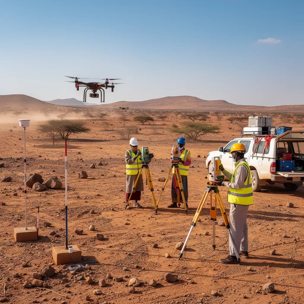
Using GNSS technology, GIS applications, drone surveys and remote sensing, we collect, manage and analyse spatial data that supports project planning, monitoring and resource management. Our structured workflows and quality assurance processes ensure that every dataset is accurate, consistent and fit for purpose.
From field data collection and GIS mapping to aerial surveys and spatial analysis, Horn Survey provides dependable geospatial solutions that help clients visualise information, understand geographic relationships and make informed decisions with confidence.
GNSS Survey
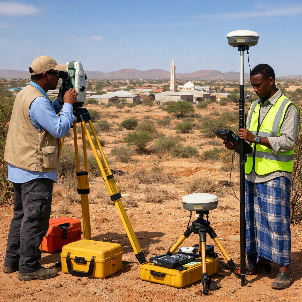
Accurate GNSS and GPS surveys provide reliable positioning and control data for engineering projects, infrastructure development, mapping and land management applications.
GIS Mapping & Spatial Analysis
Professional GIS mapping, spatial analysis and data management services that transform field information into practical maps and decision-support tools for planning, monitoring and reporting.
Drone Survey & Remote Sensing
High-resolution aerial mapping, drone surveys and remote sensing services that support site assessment, environmental monitoring, infrastructure planning and spatial data collection.